Log in
All resources
Create a design
36 Free Images of Old Maps Of North America
maps in the library of congress
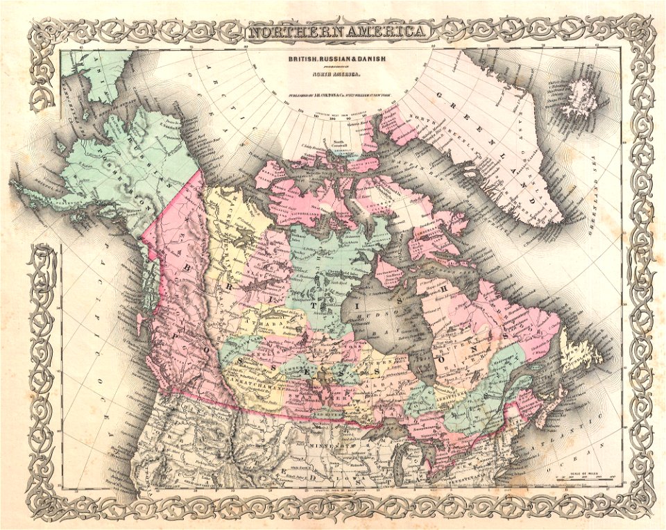
old maps of canada from the norman b. leventhal map center
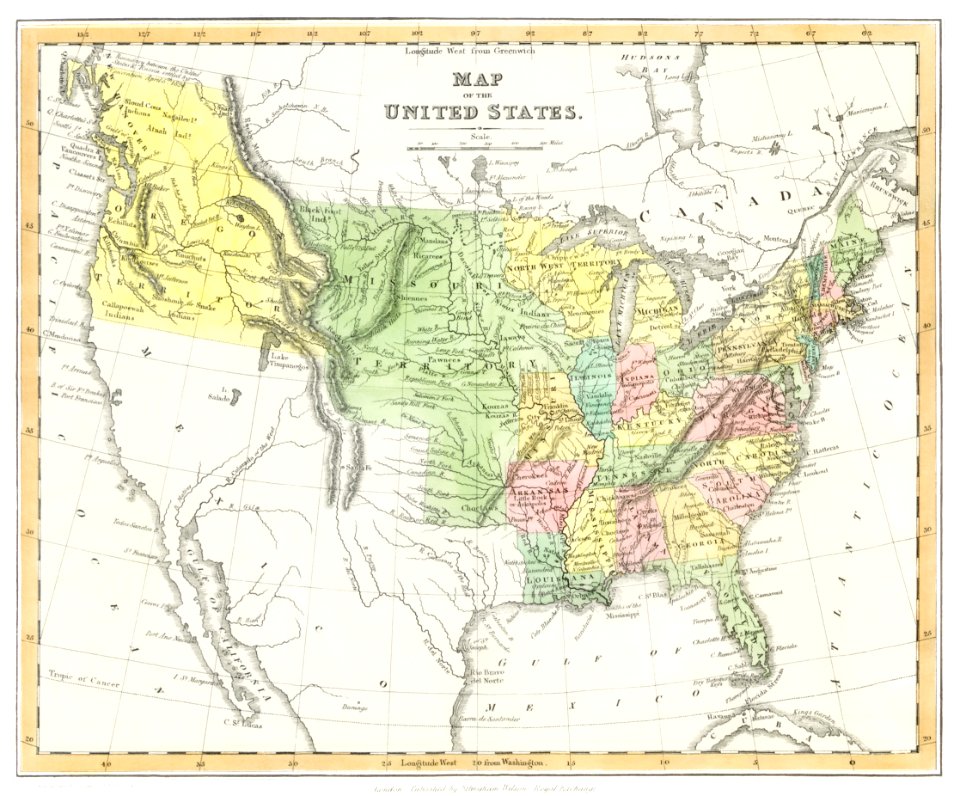
old maps of the united states from the norman b. leventhal map center
history
historical
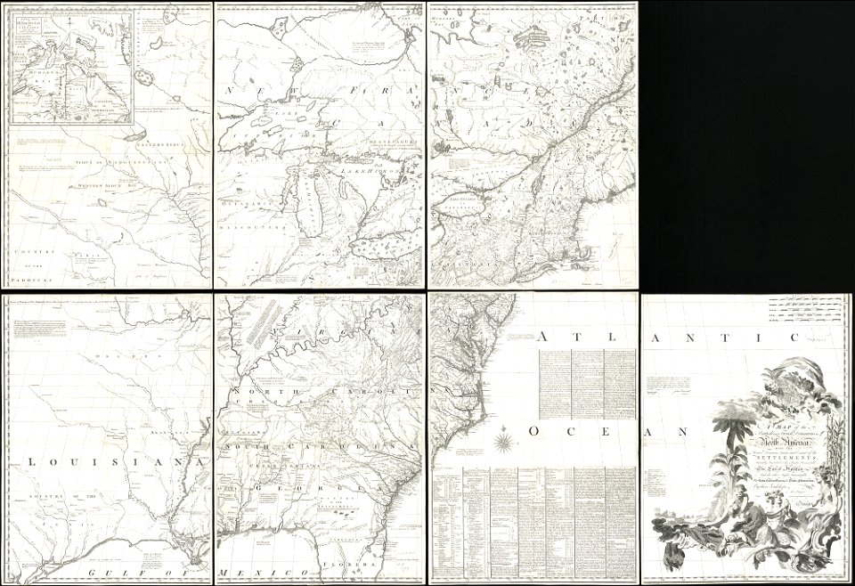
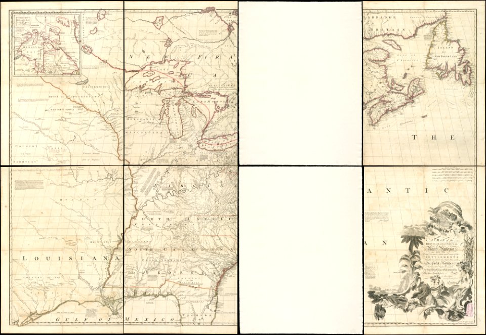
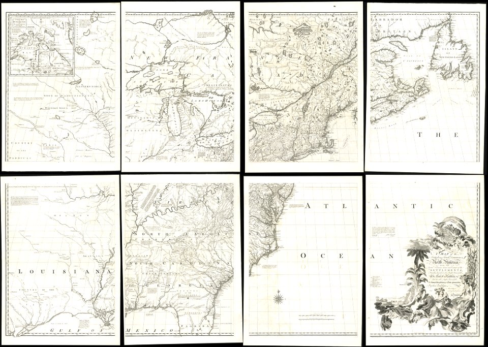
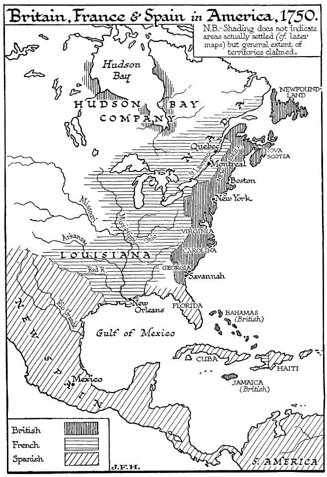
1755 mitchell map
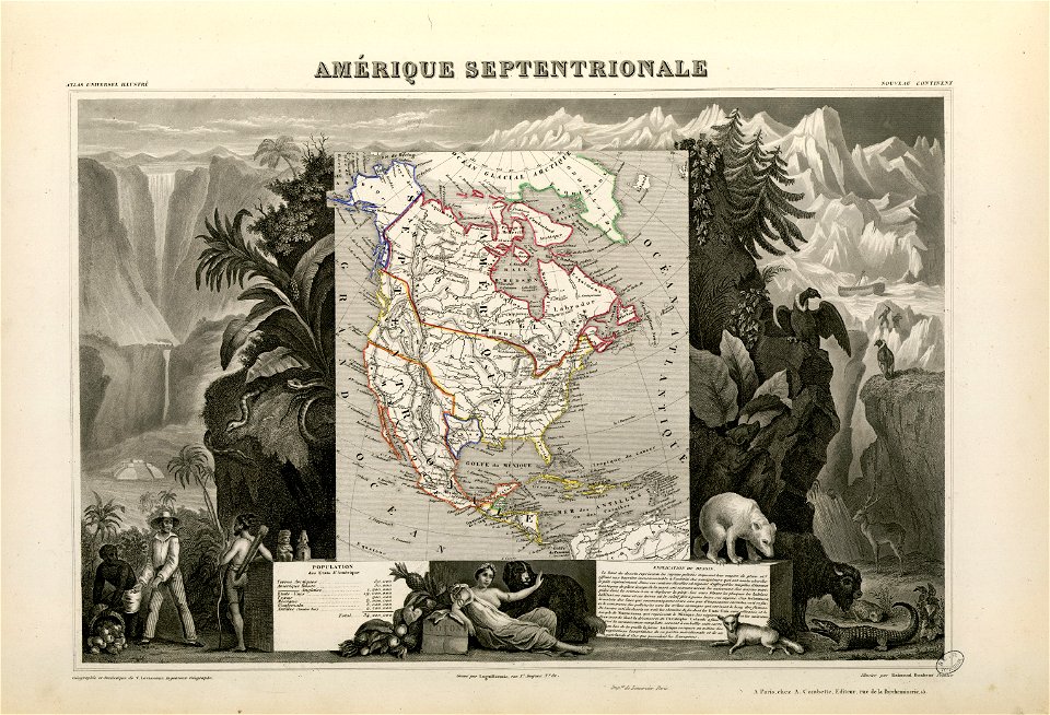
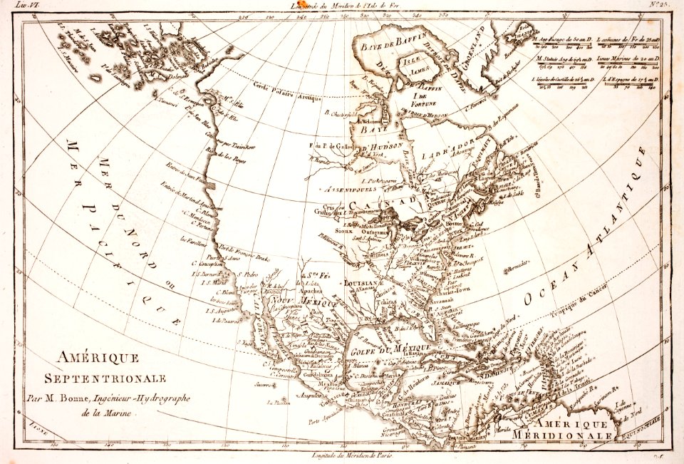
old maps of north america from the norman b. leventhal map center
old maps of canada
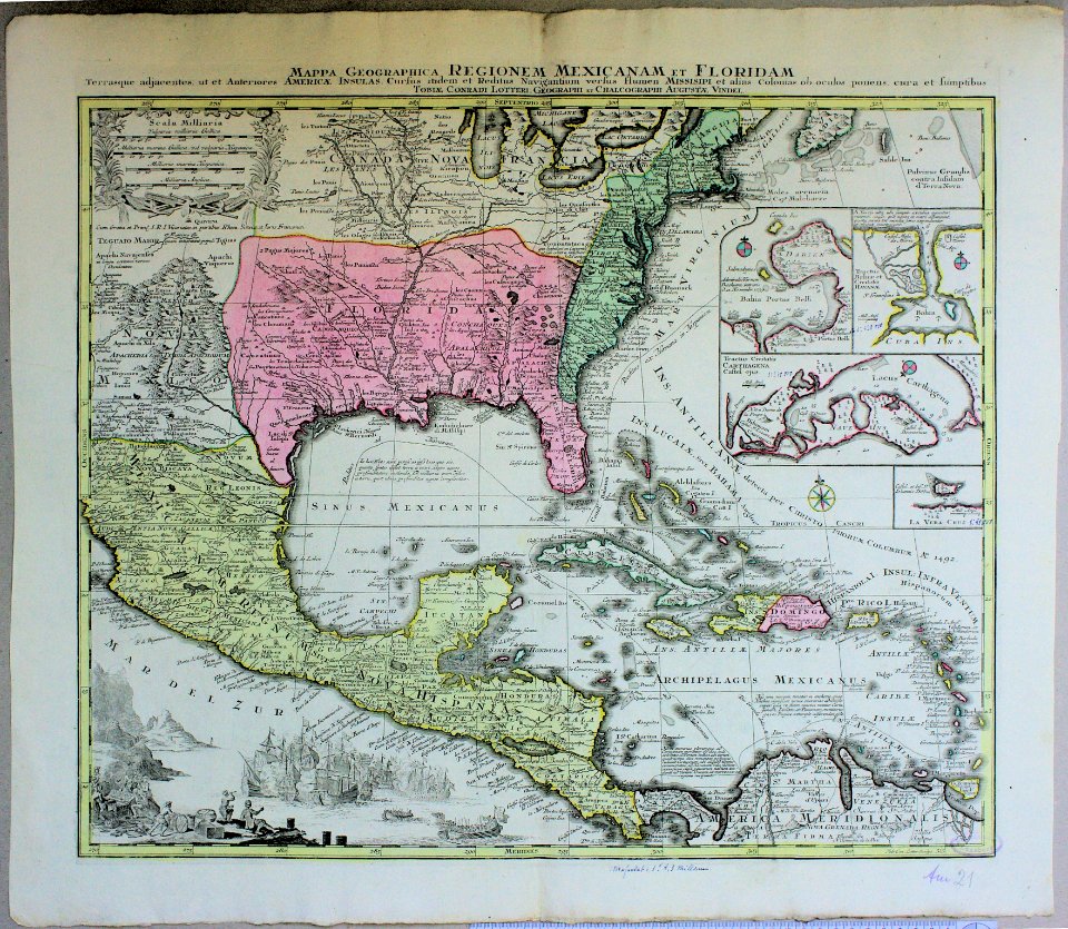
18th-century maps of the americas
old maps of south america from the norman b. leventhal map center
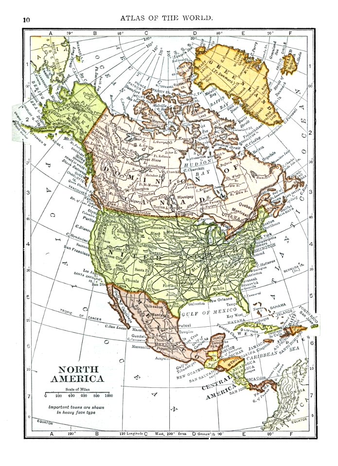
1909 maps of north america
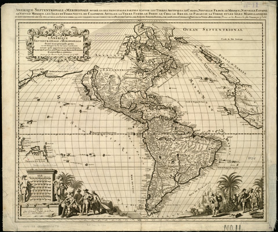
old maps of north america
old maps of north america
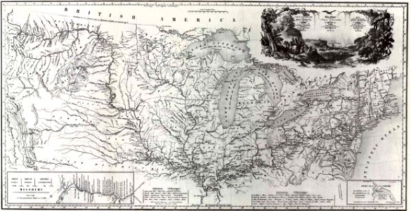
1843 maps
old maps of north america
1755 mitchell map
old maps of north america
1755 mitchell map
old maps of north america
1755 mitchell map
18th-century maps of the americas
maps by homannsche erben
old maps of canada
province of canada
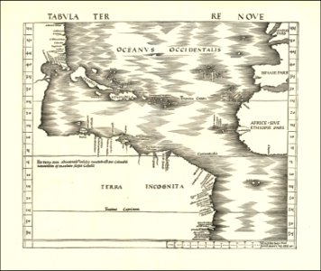
16th-century maps of the americas
maps by martin waldseemüller
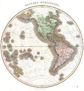
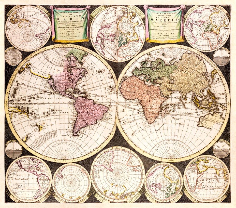
old maps of earth's hemispheres
maps of voyages
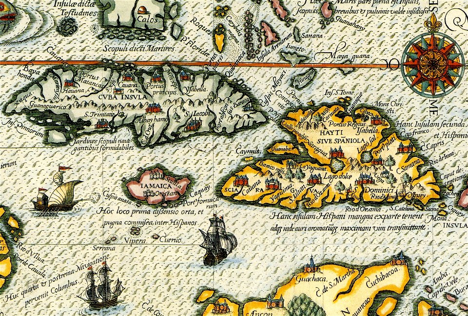
old maps of central america
old maps of florida
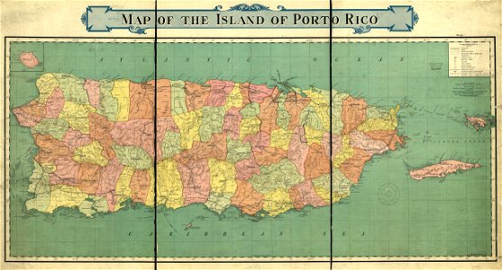
old maps of puerto rico
rand mcnally
maps in the library of congress
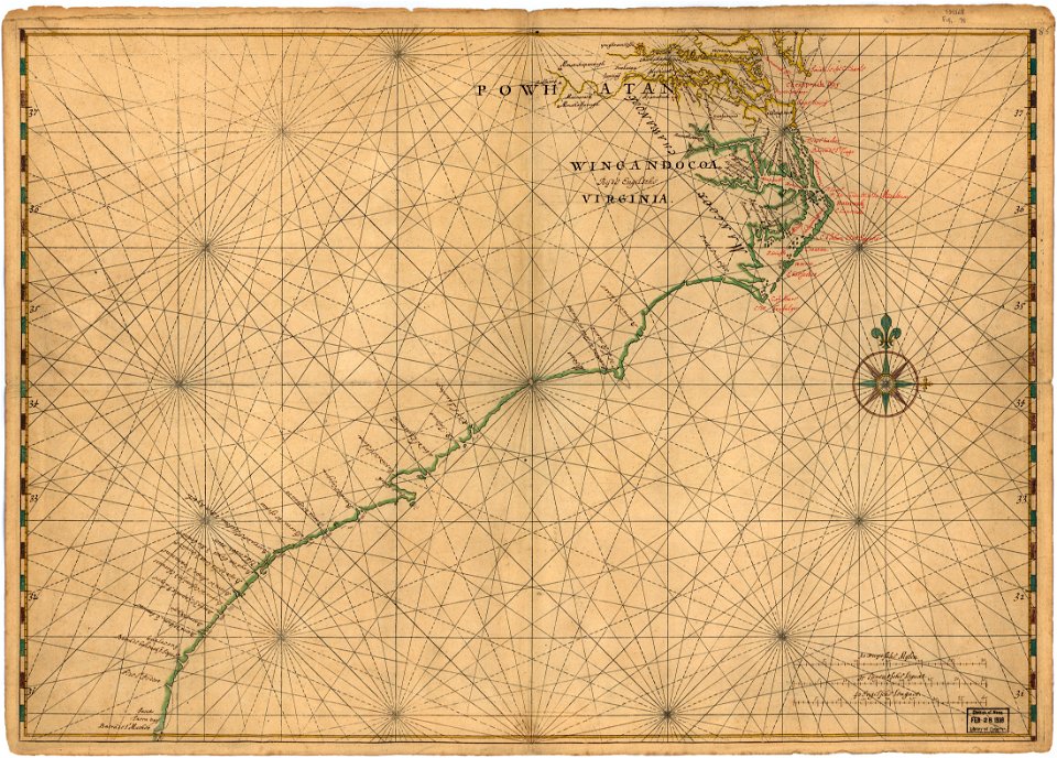
old maps of maryland
maps in the library of congress
old maps of maryland
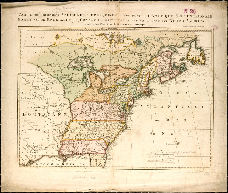
18th-century maps of north america
1794 maps
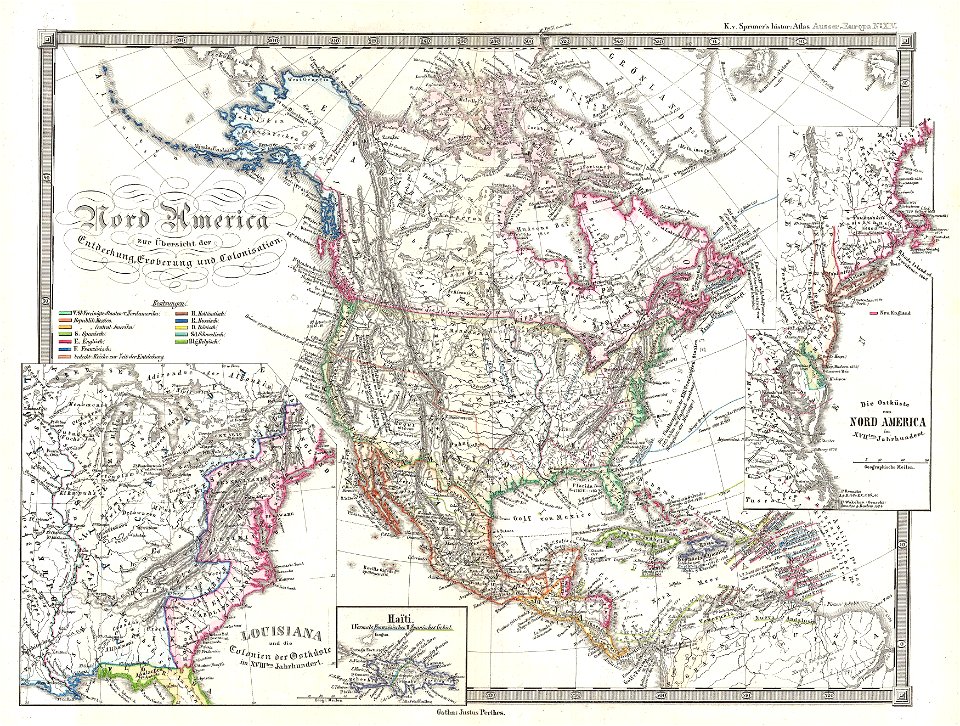
karl spruner von merz
1855 maps
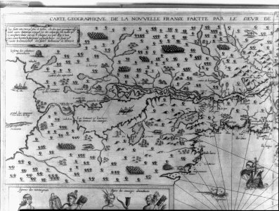
maps by samuel de champlain
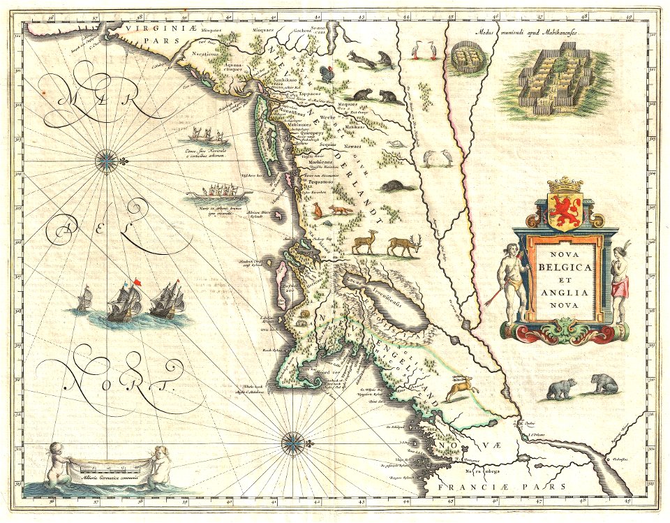
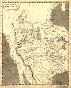
old maps of new france
atlante veneto (raremaps.com) volume 1
old maps of north america
maps in the library of congress
old maps of mexico
old maps of canada from the norman b. leventhal map center
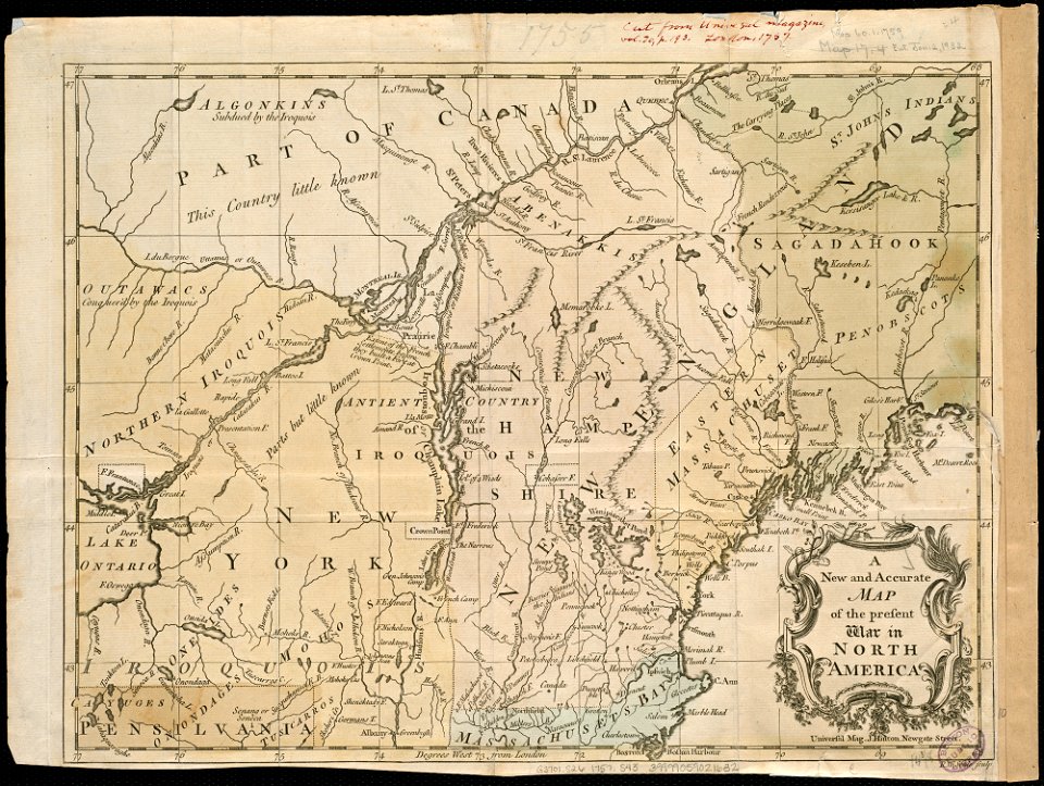
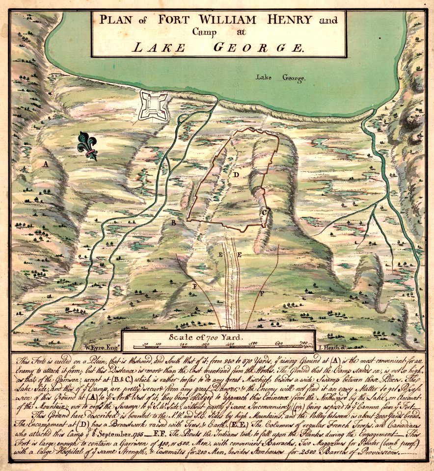
maps of the french and indian war
australia
maps
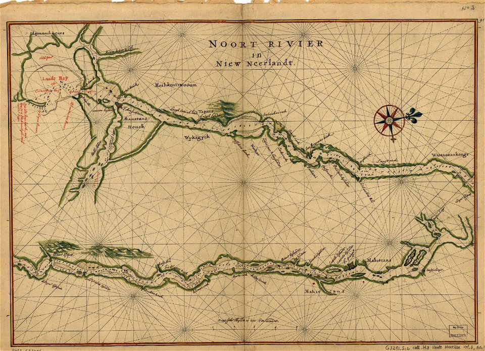
old maps of new york (state)
new york city
french-language maps
gerard valck
old maps of colombia
theodor de bry
popular science monthly illustrations/volume 13
drainage basin maps of north america
maps in the library of congress
maps of the hudson
mobile river
alabama
historical images of arecaceae
old maps of north america
old maps of north america from the norman b. leventhal map center
1755 maps of the united states
travel
maps
cornell university library
abolitionism
historical
history
historical
history
historical
history
historical
history
historical
history
world map
maps
1 - 36 of 36
/ 1